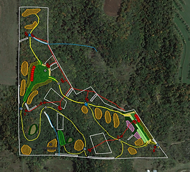
" Using Whitetail Partners took out the trial-and-error time and money we would've spent figuring out what we needed to do on our property to get ourselves more opportunities to see deer and was well worth the investment! "
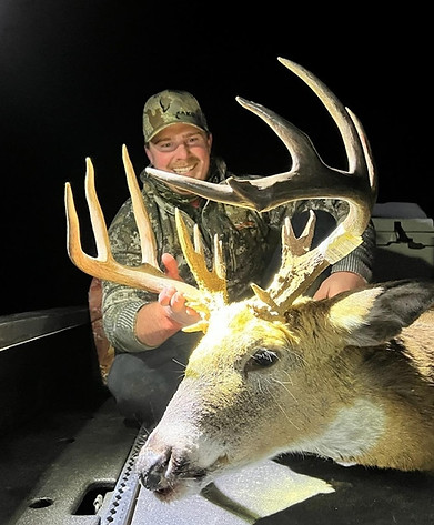
" Whitetail Partners stays involved every step of the way, even after the finished design plan. They truly care about the deliverables provided and the people involved. I've always been able to contact them for follow-up and questions. We have killed several great bucks on our property since having it designed in 2020. "
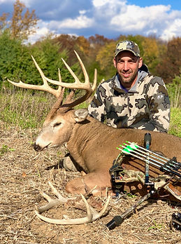
" I have been hunting whitetail deer for nearly 40 years across many states and thought I had a good understanding about whitetail habitat. During the pre buy consultant session, I learned many addition things that will make me a better hunter and know what to look for when buying my next whitetail property! "
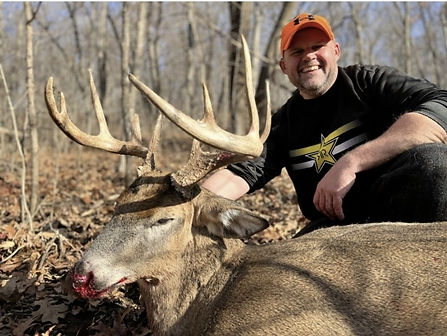
" Whitetail Partners is very knowledgeable and detail oriented. The google earth plan is easy to follow and step by step guide makes it enjoyable to create your own dream whitetail property. "
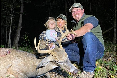
" Whitetail Partners deliverables are well designed, and more importantly, USEFUL! They gave me the tools I needed to use for years as a long term reference, a functional playbook. The report gave an easy to follow strategy with useful written plans on how to execute and maintain my new whitetail dream property. All of this was at a fair price...that's the definition of value. "

" Whitetail Partners is just that, a partner. Their customer service and attention to detail is outstanding. They continue as a resource long after the field visit and plan development. I would definitely recommend them for your whitetail habitat improvements needs. "

" The final layout and habitat plan that was provided by Whitetail Partners was great. However, the amount of time and energy they put in to getting to understand not only the property owners, but also the land itself, shows that they truly dedicated to the services they provide. "